City centre land use

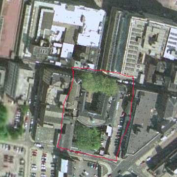
A Google Earth image showing the Bluecoates Building in Liverpool, currently under ‘renovation’, and the famous Bluecoates garden. This small green space in the middle of the busy central business street of Liverpool was a popular meeting place. The effect was enhanced by the sculptor’s studio and pottery selling gallery that used to stand on the south boundary, creating an enclosed space. The studio and gallery have been demolished as you can see from the image above.
The availability of images of city centres like this suggests various activities based on the plan view they give: land use percentages, networks of streets and access points and so on.