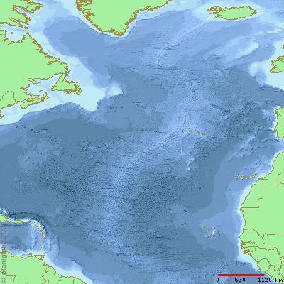
Online map creator

- The original Online Map Creator Web site provides an online interface to the GMT package
- Planiglobe is the new simplified interface – faster but currently has few options
The original OMC has been around for years and will plot contours of ocean depth and continental height. You can pull the plots down as PS files or in Illustrator format. The beta version of Planiglobe appears to be rasterising the PS downloads – no contours.
The Generic Mapping Tools are GPLed and can be downloaded. The Linux/Unix version requires compilation so I might try it on the Ubuntu box now I have gcc installed.